Riding Philly's Perimeter on the Winter Solstice
Bizarre but beautiful, unravel an unexpected history by pedaling around Philadelphia's perimeter.
Many of the photos for this story were provided by Trellis contributor Daniel Paschall, who set up a shared photo album and invited you to contribute there if you have photos from the Winter Solstice Century. Find the shared album here.
Riding around the perimeter of Philadelphia is a genuinely silly undertaking. If you wanted to ride for 90+ miles, you'd be better off riding out into Chester County's rolling hills or New Jersey's endless pines. Nobody really wants to ride their bike on City Avenue (US Highway 1), the strip mall-laden arterial that serves as part of Philly's western border. Riding the perimeter on the shortest day of the year is equally goofy. December 21 is the official start of winter, so you'd expect that conditions might really suck.
Sure enough, the weather forecasted overnight snow, daytime highs just above freezing, and 20 mph winds. Despite all that, 30 people embarked at sunrise last weekend anyway.
The Winter Solstice Century proved that epic adventure is right out your front door and that there's an odd satisfaction from accomplishing something difficult and pointless. All kinds of folks showed up on all kinds of bikes, proving that you don't need to have the best gear or look a particular way to do something big. There was no registration, no cost, no agenda, no real organization, no (Festive 500!) marketing spectacle for luxury goods. Folks just came out and had an unforgettable time.
I'm stoked that so many people were able to have such an intimate experience with their city by exploring every curve and corner. Afterall, Philly's border really is a lovely place. It's mostly bounded by rivers, creeks, and parks, and it hosts a diverse array of land use, architecture, and people. Read on to find a recap of the route and the embedded RidewithGPS route, so that you might find your way around some time too.
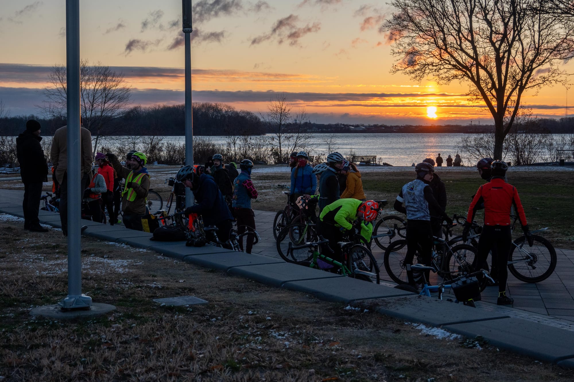
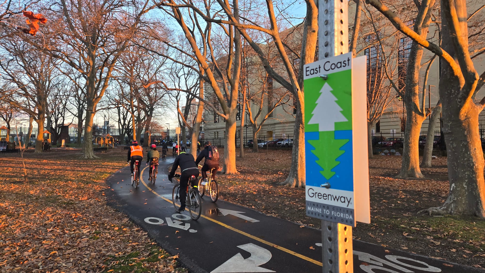
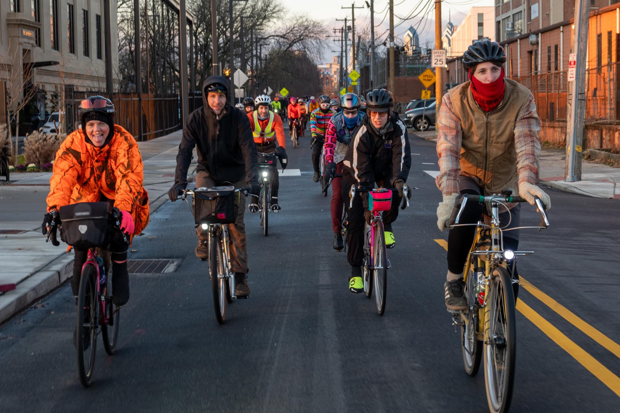
1 - Grand depart at sunrise, Penn Treaty Park, mile 0 (Powers). 2 - East Coast Greenway, a 3,000 mile biking route from Maine to Florida, mile 0 (Paschall). 3 - Leaving the city behind, mile 0 (Powers).
North Delaware
The route starts at Penn Treaty Park in Fishtown, where Pennsylvania founder William Penn is said to have signed his famous peace treaty with the native Lenape people in 1683. It proceeds northeast as close to the Delaware River, Philadelphia's border with New Jersey, as practical. Watch the trolley tracks on Richmond Street's charming commercial corridor in Port Richmond before jumping on the Delaware River Trail. Here, you'll ride past the port through the industrial district under the gaze of the Betsy Ross Bridge.
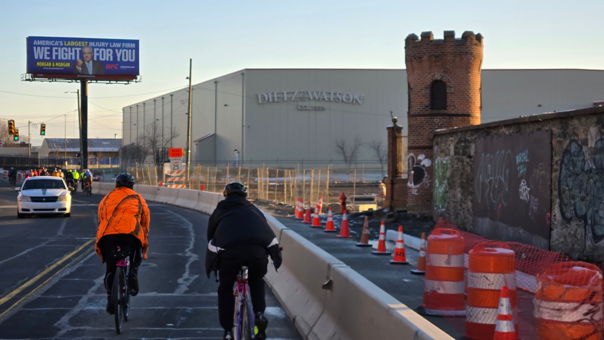
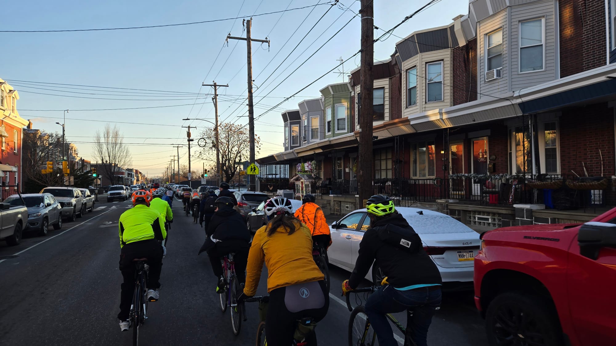
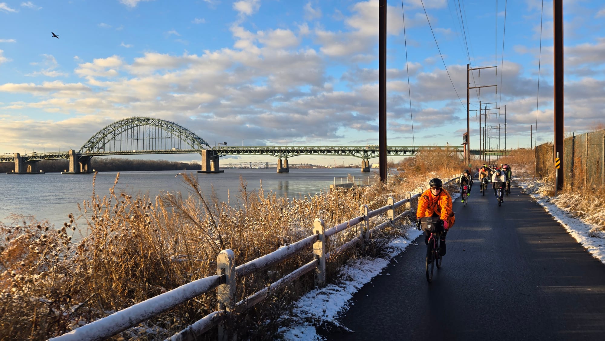
1 - Frankford Arsenal juxtaposed with Dietz & Watson, mile 6 (Paschall). 2 - Bridesburg rowhomes, mile 4 (Paschall). 3 - Tacony Palmyra Bridge from K&T Trail, mile 8 (Paschall).
The route winds through the working class Bridesburg neighborhood, whose name refers either to its 19th century origins as a honeymoon destination or to a prominent early landowner and ferry operator named Joseph Kirkbride (Kirkbridesburg just wouldn't roll off the tongue). A brief stretch on Tacony Street passes the former Frankford Arsenal, which operated as a US Army ammunitions plant from 1816 to 1977 (it's now home to Franklin Towne Charter High School). Follow the route to the K&T Trail for a couple sun-soaked riverfront miles.
Years ago, the North Delaware stretch of a perimeter ride would have looked a lot different, as much of the waterfront is fairly newly developed. Years from now, this stretch of a perimeter ride will change even more as the Delaware River Trail stretches north and Riverfront North's Greenway continues to progress.
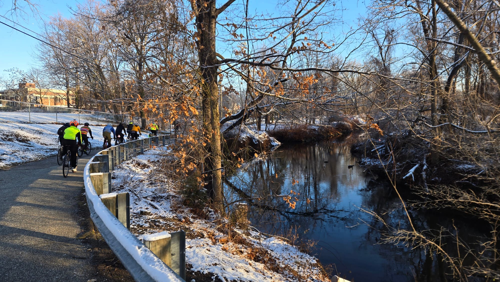
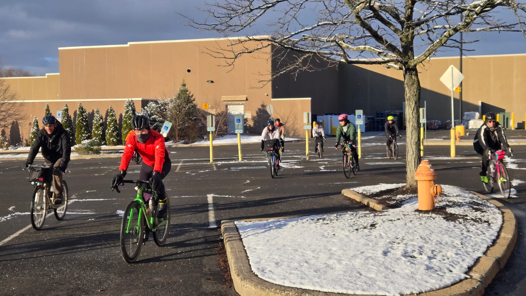
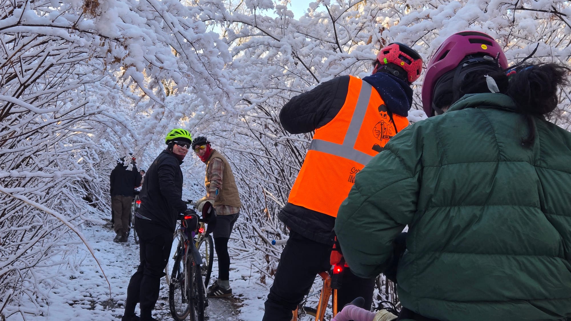
1 - First glimpses of Poquessing Creek, mile 13 (Paschall). 2 - Philadelphia Mills Mall, mile 16 (Paschall). 3 - Poquessing Valley Park, mile 19 (Paschall).
Poquessing Creek & The Great Northeast
A few miles up State Road past the Pennypack, the route turns north to follow Poquessing Creek, which forms most of Philly's border with Bucks County. Far enough outside the city's heat island to be coated with the night's snow, Northeast Philadelphia looked prettier than I'd ever seen it. Here, the route meanders through suburban style subdivisions and a shopping mall parking lot with sporadic glimpses of the creek.
A trail winds through Poquessing Valley Park and includes a brief unpaved section that most folks walked. Covered in snow, it was a perfectly enchanting place to slow down and capture photos.
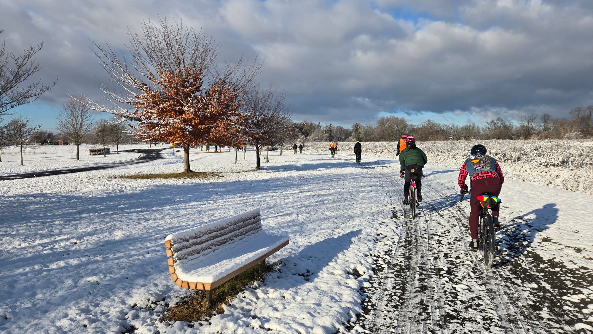
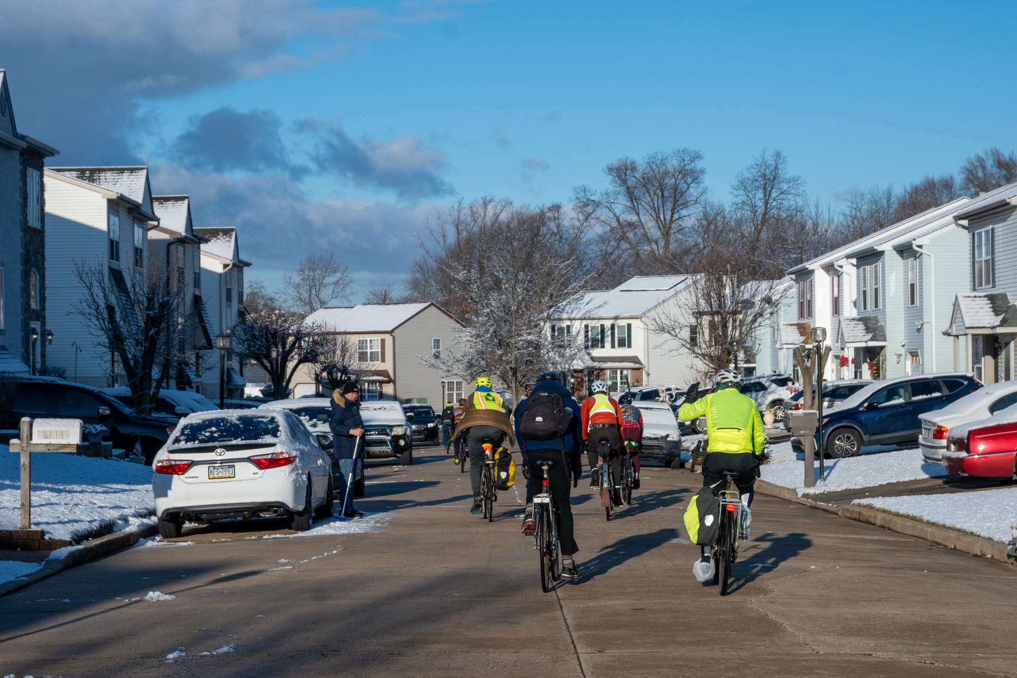
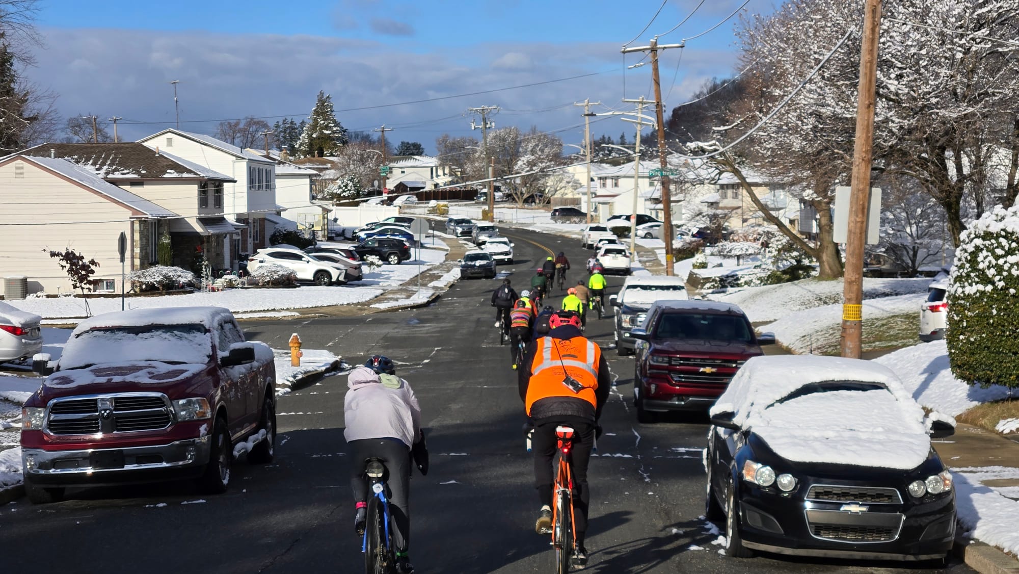
1 - Ben Rush State Park, mile 20 (Paschall). 2 - Residential subdivision, mile 17 (Powers). 3 - Bustleton neighborhood, mile 25 (Paschall).
The Poquessing Creek Trail spills out into Benjamin Rush State Park, which features one of the world’s largest community gardens and is named for a Founding Father, physician, and signer of the Declaration of Independence.
To digress a bit, Stockton Rush, who used a video game controller to lead a doomed submarine voyage to the Titanic last summer, was a direct descendent of Benjamin Rush. Maybe he should have just gone for a bike ride instead.
Past Ben Rush, Philadelphia borders Montgomery county on a line roughly parallel to the gentle curve of the Delaware River. The curves favored by suburban residential developments of the 20th century, on the other hand, are a little more arbitrary. It’s impossible to pedal on the actual border here, so this part of the route was designed to stay close to it without too many unnecessary turns.
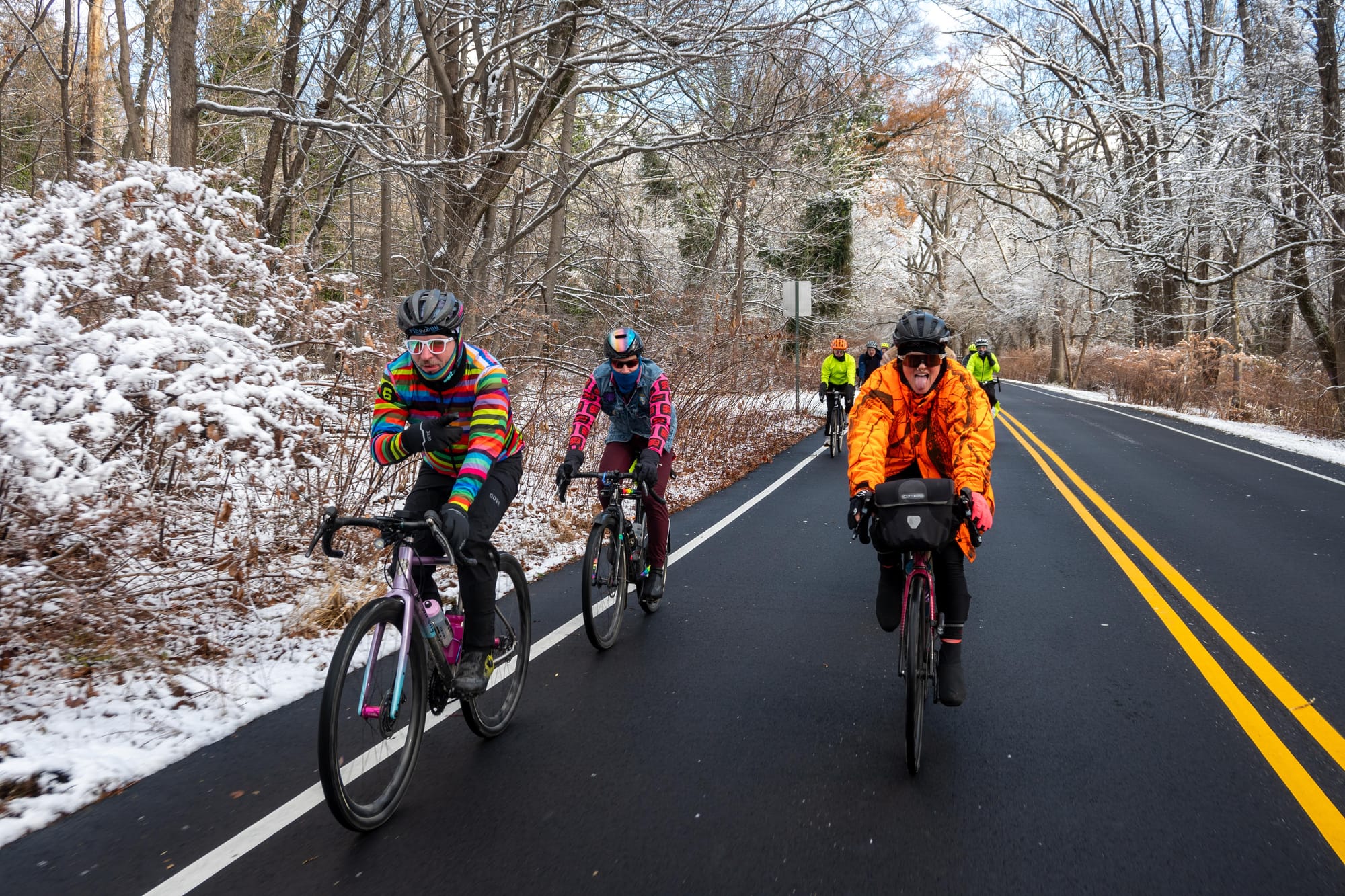
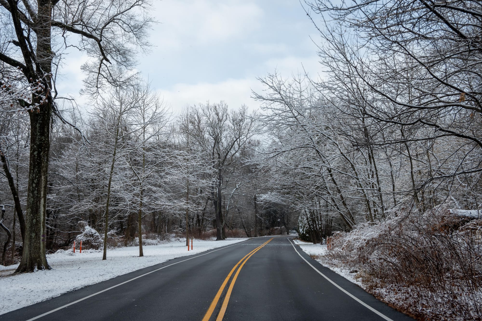
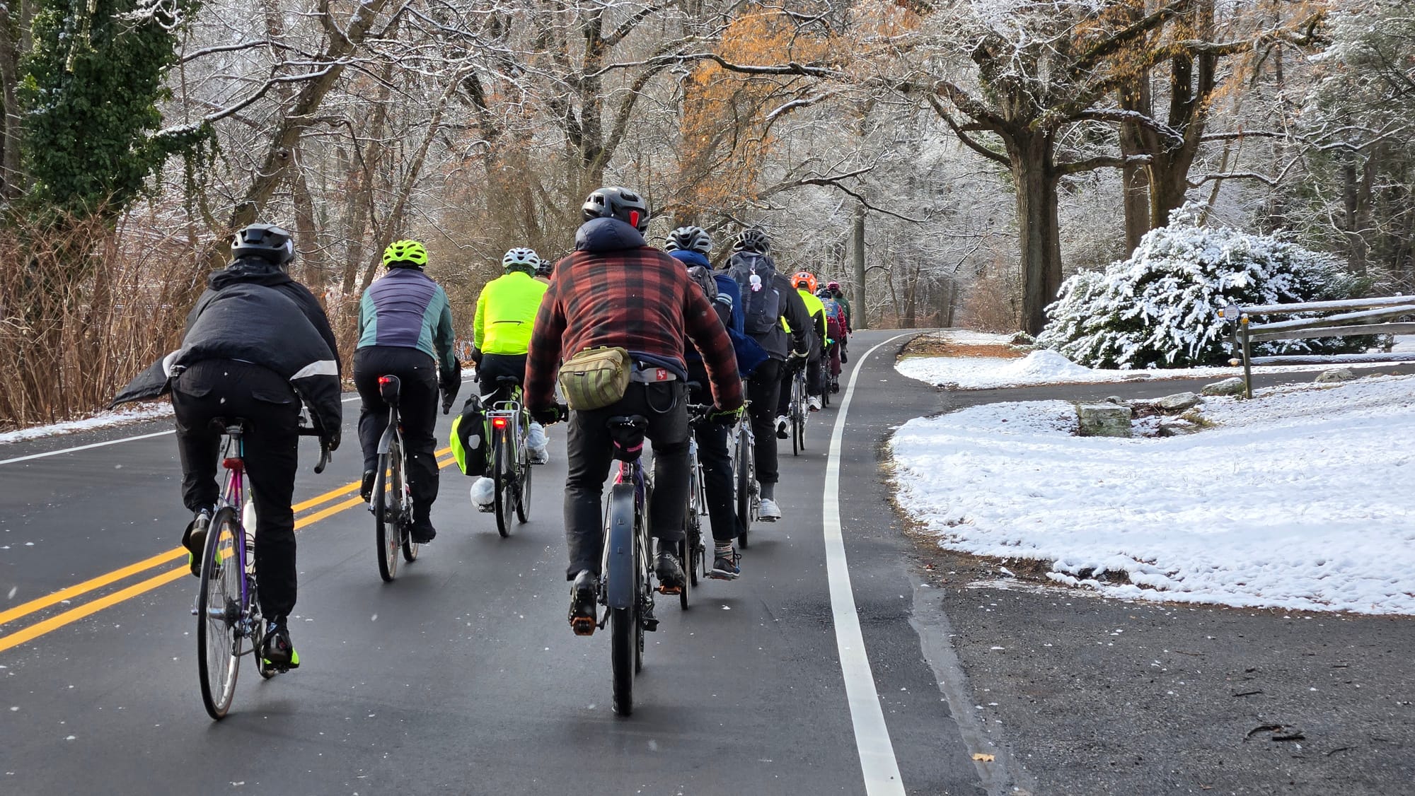
1, 2 - Tookany Creek Parkway, mile 32 (Powers). 3 - Tookany Creek Parkway, mile 32 (Paschall).
Tookany Creek & The Upper Northwest
The route slips into idyllic Cheltenham Township at Cottman Avenue, favoring a scenic byway versus some tricky wayfinding within city limits. Tookany Creek Parkway bends with the contours of its namesake creek, which is awkwardly sandwiched between the Parkway and SEPTA's Fox Chase Regional Rail line. As a complicated matter of state legislation, the railroad, not the creek, serves as the border in this vicinity.
Plan to come back another day to continue riding trails along this stream as it slices through Philadelphia toward the Delaware. You'll ride through Tacony Creek Park and onto the Frankford Creek Greenway until you arrive at its outflow at the Betsy Ross Bridge (mile 4 on this route). It's a little confusing, but Tookany/Tacony-Frankford Creek is all the same thing.
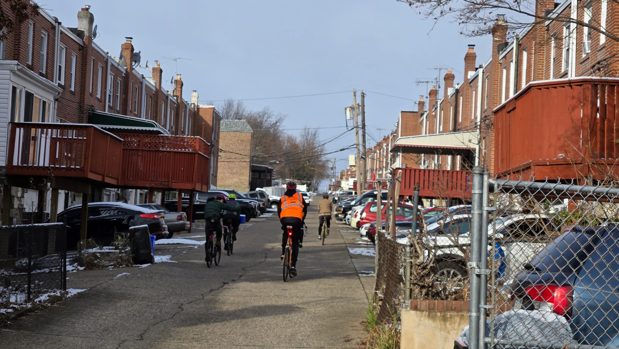
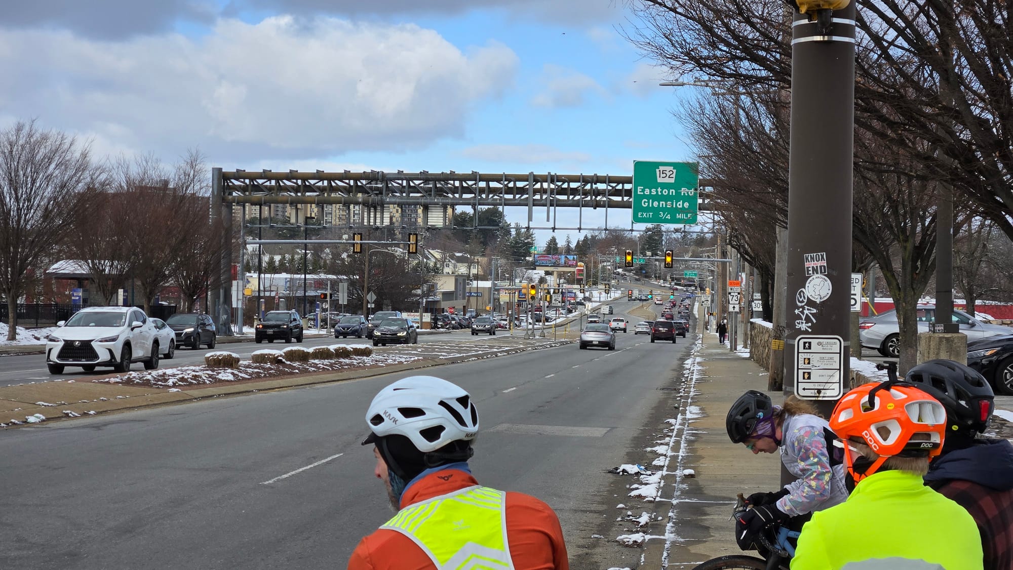
1 - An alleyway in East Oak Lane, mile 33 (Paschall). 2 - Crossing Cheltenham Avenue after lunch, mile 36 (Paschall).
As far as I can tell, today's Cheltenham Avenue has served as Philadelphia's border as long as Philadelphia has existed. I imagine there were a lot more cows when Thomas Holme surveyed it by 1687. Since there are far more cars than cows now, the route parallels Cheltenham Avenue as directly as practical using an alleyway, some bike lanes, and other low stress neighborhood roads.
After riding the four mile stretch of Cheltenham Avenue in 2022 with some other brave riders during the first Winter Solstice Century, I decided I'd never do it again. Cheltenham Avenue does host a ton of services though, and the Greenleaf Mall and adjacent businesses at mile 36 were used for refueling and bathroom breaks in both 2022 and 2024.
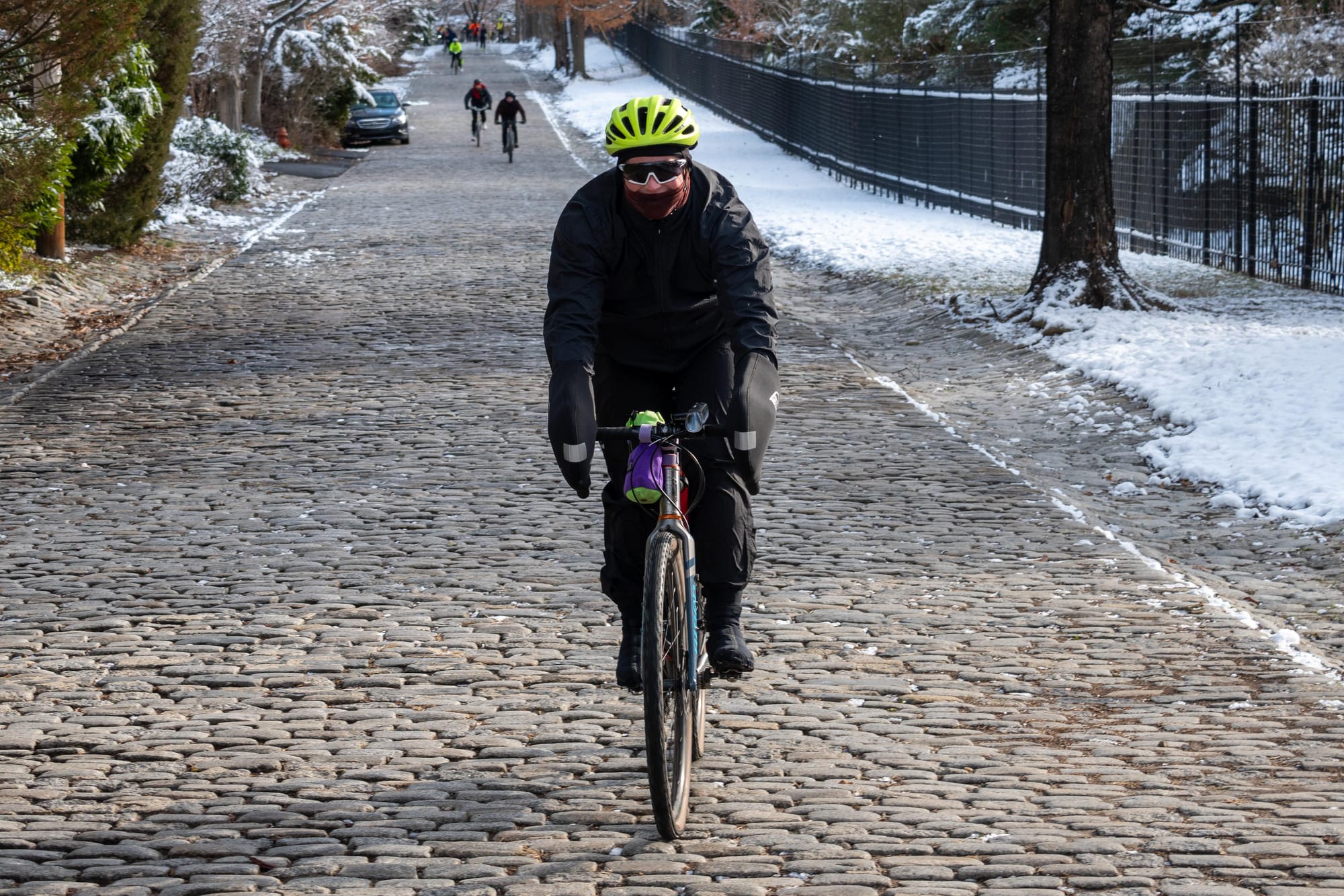
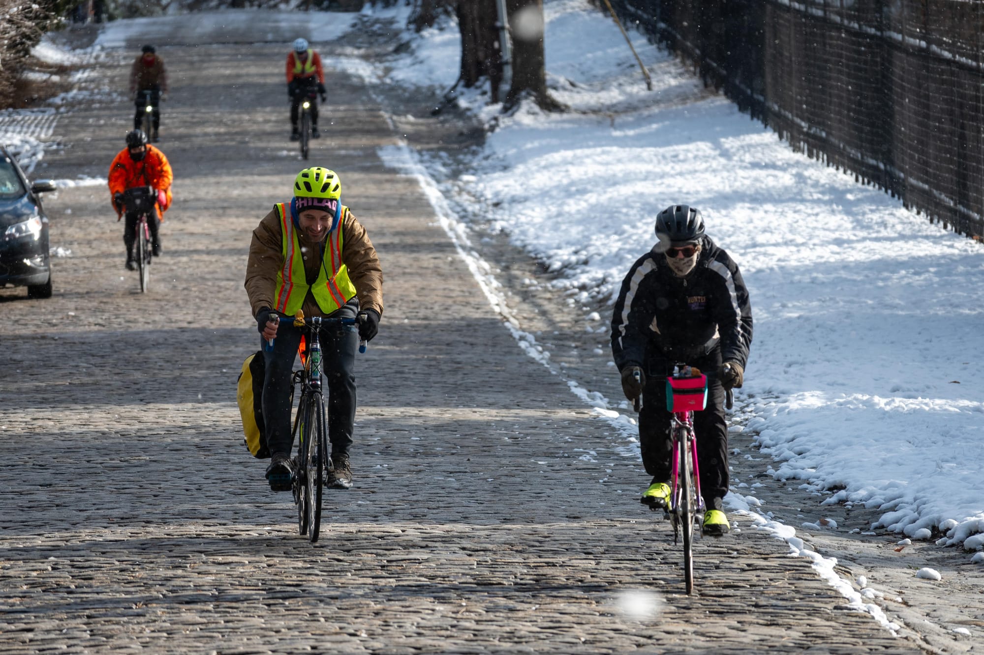
1, 2 - A staggered descent on Meadowbrook Avenue, mile 41 (Powers).
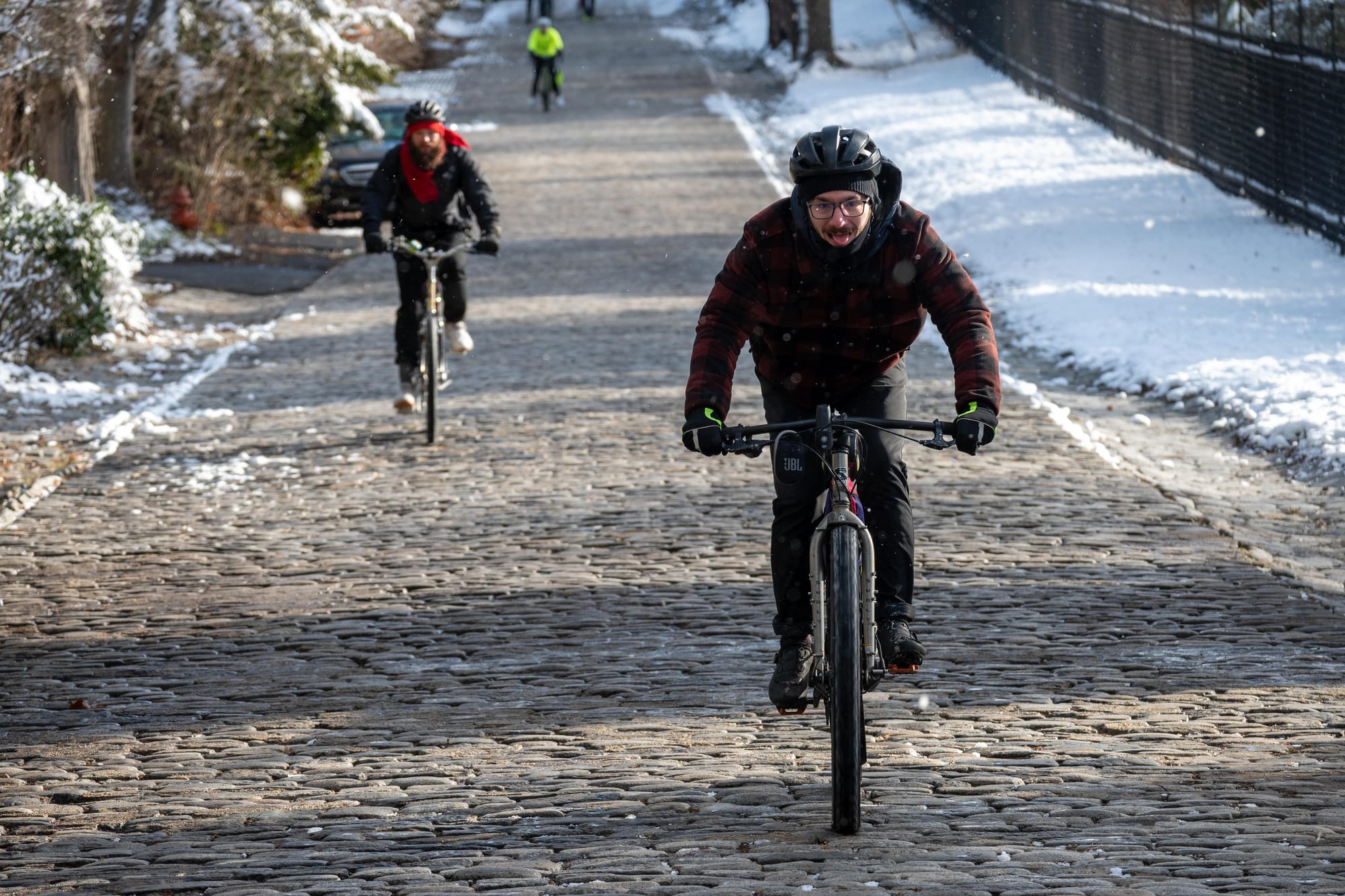
The route continues parallel to Stenton Avenue, another high-stress border road, through Chestnut Hill. Take caution at mile 40, where it's absolutely necessary to make a challenging turn onto Stenton. A downed tree forced us onto Meadowbrook Avenue last week. We had to hike through a stretch of ice but were surprised and delighted to bounce down a hill that was originally paved in granite blocks in 1927.
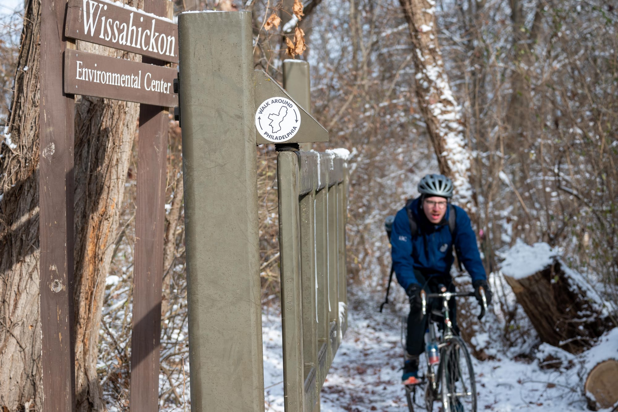
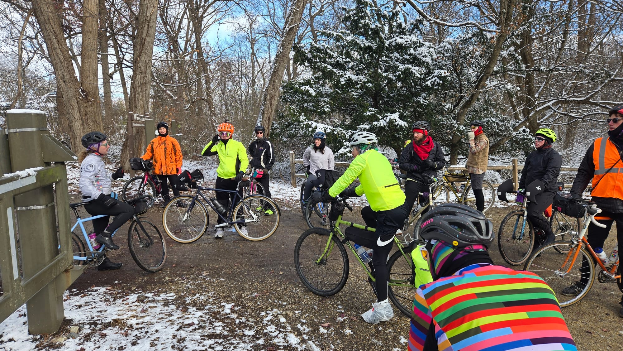
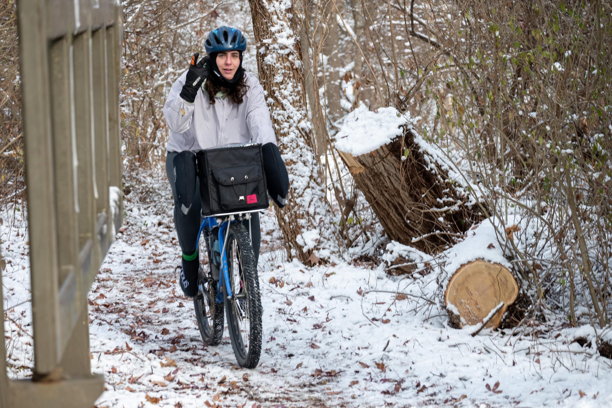
1 - Walk Around Philly is another great way to explore the perimeter, mile 42 (Powers). 2 - Discussing Northwestern Avenue's role as Philly's northwestern border, mile 42 (Paschall). 3 - Conquering an icy unpaved climb, mile 42 (Powers).
Wissahickon & Schuylkill Valleys
The route turns left off Stenton onto Northwestern Avenue, which marks the border with Montgomery County up to Ridge Avenue. From Forbidden Drive, so named because early advocates protested to forbid cars like the brand new Model T from using it, there is a brief but difficult climb out of the Wissahickon Valley. In fact, it's all climbing from Wissahickon Creek to the ridge, but that sets you up for a fast, fun, winding descent down to the Schuylkill River.
Jump on River Road near SEPTA's Miquon Station, which is said to have been designed by iconic Philadelphia architect Frank Furness. The route weaves through Manayunk towards Falls Bridge - you know the way, you've done this part of the ride 1,000 times before. Last week, we chose to divert off of the towpath boardwalk and ride on Main Street to avoid ice.
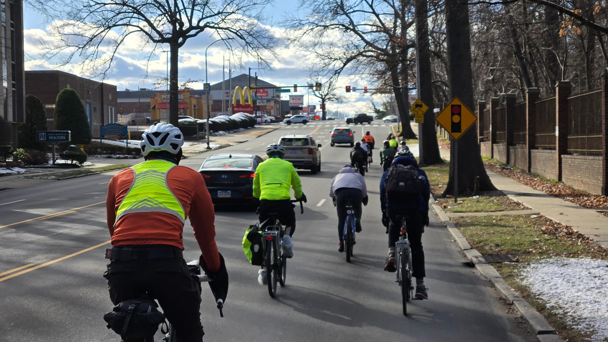
The peloton advances on US-1, mile 52 (Paschall).
City Ave, Cobbs Creek, & John Heinz NWR
Again, nobody wants to ride on City Avenue, but I think it's an important and tolerable part of the experience: there aren't any logical parallels and it's worth knowing what it feels like. The lights are spaced close together and the signal phases are long, so the traffic is pretty chill. Though I wouldn't want to ride this segment alone, it feels pretty comfortable en masse.
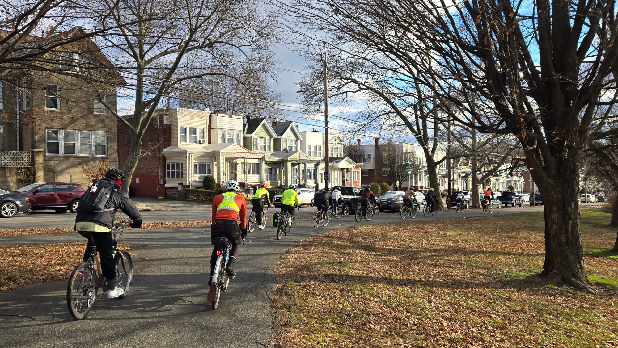
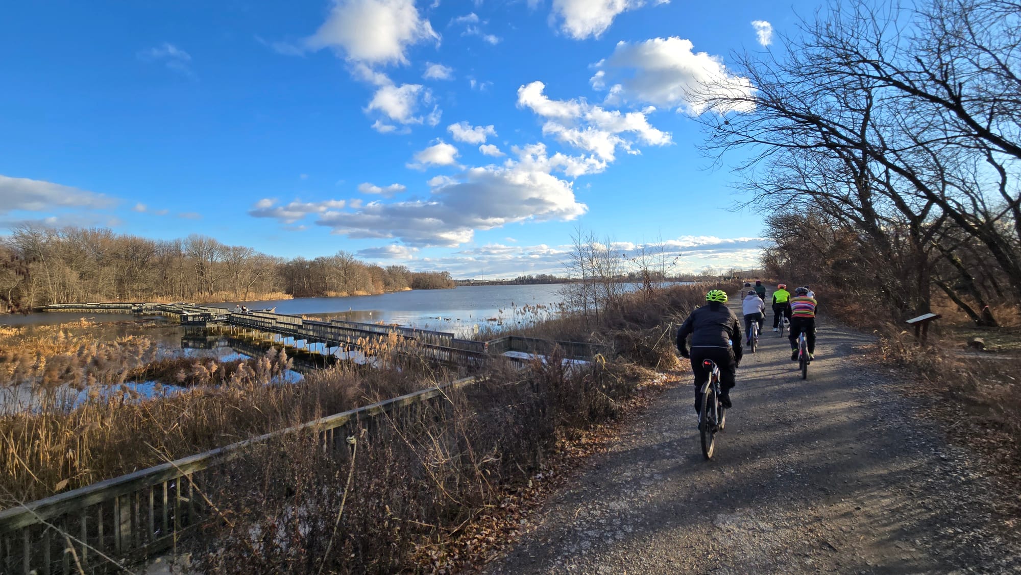
1 - Cobbs Creek Trail near Baltimore Ave, mile 59 (Paschall). 2 - Gravel trail in John Heinz NWR, mile 64 (Paschall).
Zig-zag back onto the urban grid in Overbrook Park and along the edge of Haddington Woods before joining the Cobbs Creek Trail at 63rd & Market. Cue about five miles of relaxed trail riding through the watershed park that forms Philadelphia's border with Delaware County. After Island Avenue, follow signs for the East Coast Greenway, which guides you through Eastwick, onto newly constructed segments of Cobbs Creek Trail, and into John Heinz National Wildlife Refuge.
Heinz is one of Philly's best natural treasures and was also the topic of the first story published on The Trellis. Check that ride out here. On your perimeter ride, keep an eye out for a fork in the trail that leads away from the marshes toward the I-95 viaduct. Underneath the thundering interstate, you remain inside the refuge but you've crossed the border into Delaware County.
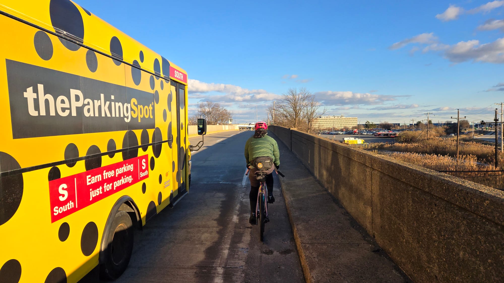
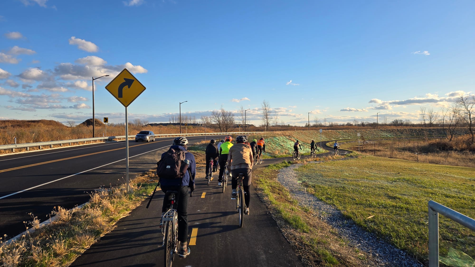
1 - A quarter mile on PA-291, mile 66 (Paschall). 2 - Brand new bike trail on airport loop, mile 67 (Paschall).
Airport, Navy Yard, and the Home Stretch
Most of the airport's terminals are inside of city limits, but a couple of them plus all of the runways are in Tinicum Township. It's neat to ride the loop around the runways while planes soar overhead in the setting sun, so I think it's worth including these Delco miles. Beware, between Heinz and the airport loop there is an unavoidable quarter-mile stretch on PA-291 where cars are flying and the shoulder is miniscule.
Past the airport, Bartram and Essington Avenues are a bit of a slog. You're getting tired (the temperature had dipped into the 20s by now) and these aren't pleasant places to ride, but it's part of the journey. The Passyunk Avenue bridge comfortably spans the Schuylkill with a stunning vantage of Philadelphia's skyline.
The single worst mile of the ride is on 26th Street between Passyunk and Penrose Avenues, which looks like and serves as a highway. If you plan to ride this route alone (or at all), I strongly encourage you to check existing conditions of this segment or plan a detour. The shoulder has been relinquished to construction for the Bellwether District on the site of the old refinery. Maybe in the future we'll ride through a new industrial district on the east bank of the Schuylkill River instead.
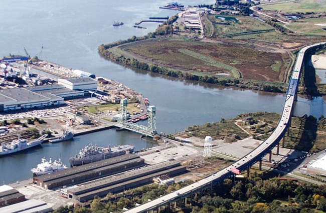
Past Penrose, 26th Street mellows out and leads to a WWII era lift bridge into the Navy Yard. Unfortunately I don't have any photos to share from here on but the Navy Yard is a delight. Monumental decommissioned warships rest in a type of purgatory as Broad Street bisects 19th century military facilities from 21st century office parks.
The final frigid miles wind behind the stadium district and past Philadelphia’s main port. It’s smooth sailing as you pass the SS United States and join the Delaware River Trail behind Wal-Mart. A few easy miles later, you’re back where you started at Penn Treaty Park, having circumnavigated the city.
I’m not the first to have built or ridden a route around the perimeter like this, but this route was carefully designed to be the most current. In the future, the route will need to be updated as new trails are constructed, particularly along the North Delaware and in Eastwick. The Winter Solstice Century will return, but I invite you to use this route (or tweak it to your comfort) for your own great adventure.

